2006 Excavations
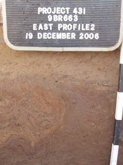
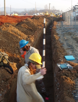
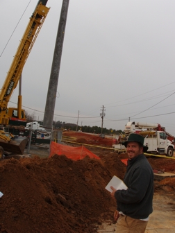
During the winter of 2006, Southern Research conducted data recovery excavations for the Bartow County Water Department for the relocation of a water line running through the site, parallel to the road. Perhaps the most significant finding of this excavation effort was the uncovering of a portion of one of the earthen mounds, Mound B. During our excavation, we discovered mound fill and mound slope erosional sediments, and found that the mound was constructed on top of the Cartersville phase village midden. While this flat-topped platform mound was originally nearly 20 feet in height, today it is mostly invisible on the ground surface. Fortunately however, remnants of it are still present beneath the modern ground surface, and these remnants were protected by fill during the road construction. The image below shows the soil profile that we mapped for the mound area, with the slope of the mound clearly visible. 
The midden represents the buildup of debris and residues from human activities - essentially compost with artifacts! In terms of mound construction, it appears that the midden in this location was leveled prior to the placement of the mound fill atop it. On the lower flanks of the mound slope, a stratum of water-lain sediments is present, likely a result of erosion of the mound slope over the intervening centuries. Within this slope wash stratum, we noted a high amount of charcoal flecks, perhaps originating from a burned structure or feature atop the mound. Based on the soil profile and position at the edge of the mound, this mound building stage was perhaps the final stage of construction.
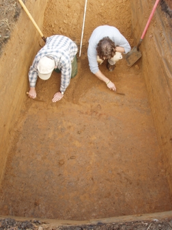
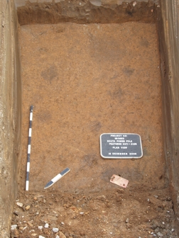
We also uncovered a feature within the mound area that intruded the midden. Visible in the lower right corner of the photograph as the semi-circular soil anomaly, one can see how the feature was dug through the midden stratum. Extending approximately 1.5 meters below the surface, we feel that this feature represents a hole for a large post, which was removed prior to the addition of the mound fill atop the midden and within the hole.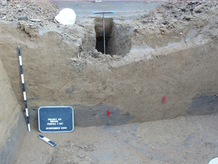
Photograph showing feature intruding midden.
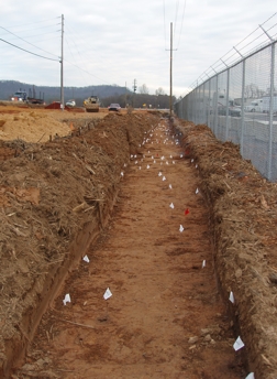
A line of smaller posts of similar size and soil fill was documented just beyond the mound fill area, most likely remaining from a structure.
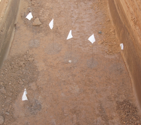
Photograph showing line of posts.
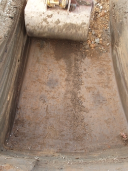
For an area stretching approximately 18 meters from the southern edge of Mound B, we found no features, while beyond this is an area of very high feature density. It is unlikely that the lack of features is simply coincidental, but rather the result of a conscious effort to keep this area clean. Perhaps this was part of a plaza area.
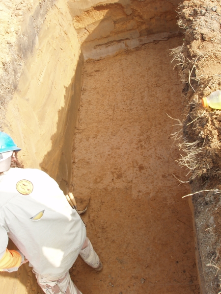
Photograph showing clean area south of Mound B.
Several interesting artifacts were recovered during this excavation. The artifact pictured below is a very small crystal (measuring 1.38 cm along the long axis) that has been modified into the form of a plummet (Figure ?). Note the areas which are similar to frosted glass in appearance and the areas which are clear: the frosted areas have been ground, while the clear areas have not. In addition, a groove was placed around one end of the crystal. Plummets are a relatively common artifact type at Leake, typically being made of a silvery metallic stone known as magnetite and measuring 6-10 cm in length. Plummets are often referred to as netsinkers, although these artifacts do not seem to have been used for subsistence tasks, but rather for more personal or ceremonial purposes. Obviously, this particular artifact would not have been effective as a netsinker.
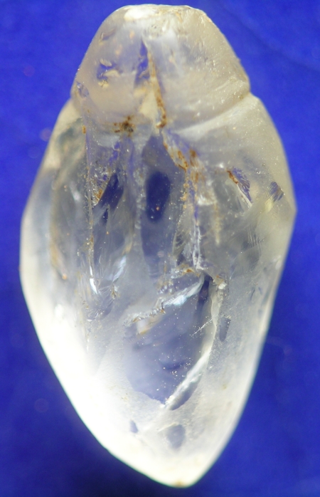
Crystal microplummet.
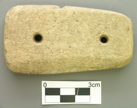
Another interesting artifact is this gorget made of soapstone (Figure ?). Two small holes have been drilled through the gorget, presumably for suspension or fastening purposes.
